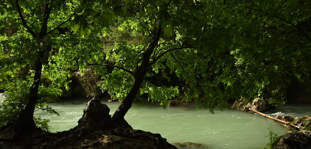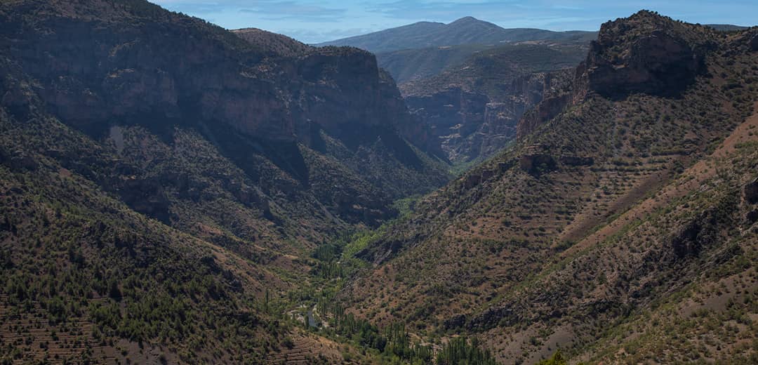

Hadim has higher altitude than the other districts of Konya and has a mountainous topography in general.
The district within the Taurus Mountains within the Alpine-Himalayan Orogeny is located in the eastern parts of the Western Taurus Mountain Range. This mountain range separated the Mediterranean and Central Anatolia and the district of Hadim is located within the borders of the Mediterranean Region. The district was established in the valley between steep rocky and high hills. The physical geography of Hadim consists of mountains covered with steep rocks, high and steep hills, small streams between these mountains and hills, and very narrow trough-shaped valleys.
İlgili Deneyimler'e Göz Atın
Geçerli duyu içeriği ile ilişkili deneyimleri keşfedebilirsiniz.


